Sattva City to Kempegowda International Airport: Distance, Routes and Time
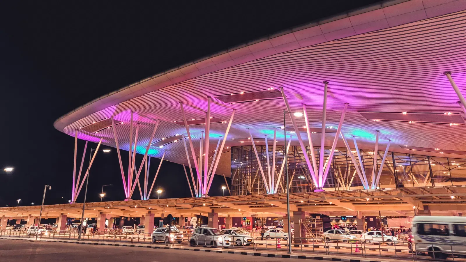
Sattva City distance from Bangalore airport — 8.5 km via NH-44, sub-15 minute drive, toll-bypass route, and complete journey breakdown to KIA.
The Sattva City distance from Bangalore airport is one of the project's most consequential location attributes — 8.5 km via NH-44, which translates to a sub-15-minute drive in normal traffic conditions and a comfortable 20-minute drive even at peak hours. For frequent flyers, aviation professionals, and airport-area workforce, the Sattva City distance from Bangalore airport is the single most important variable in the daily lifestyle calculus.
This blog walks through the Sattva City distance from Bangalore airport in detail — the actual route options, the typical drive times under different traffic scenarios, the toll structure, and how the journey compares to alternative airport-area residential locations.
The Sattva City NH 44 Airport Route
The primary Sattva City NH 44 airport route runs directly along Bellary Road / NH-44, with no major signal junctions between the project entry and the airport approach road. This is a signal-thinned arterial designed specifically to handle airport-bound traffic, and the road quality is consistent with the corridor's strategic importance. The Sattva City NH 44 airport route is toll-free in this direction, which is a meaningful daily cost saving for residents who use the airport frequently.
Drive Time Breakdown
Time of Day | Typical Drive Time | Notes |
Off-peak (10am–4pm) | 12–14 minutes | Light traffic, free-flowing |
Morning peak (7–10am) | 16–20 minutes | Workforce inbound to airport area |
Evening peak (5–8pm) | 18–22 minutes | Workforce outbound |
Late night (10pm–6am) | 10–12 minutes | Minimal traffic |
Weekend afternoons | 12–16 minutes | Moderate leisure traffic |
Sattva City Airport Corridor Connectivity Logic
The Sattva City airport corridor connectivity profile benefits from three structural factors. First, NH-44 is the designated airport arterial — the road infrastructure is sized for the volume, and signal density has been deliberately minimised. Second, the toll-bypass routing means daily airport-area movement does not incur toll charges. Third, the airport's expanding logistics, MRO, and aviation services ecosystem means the airport corridor is not just an airport — it is also a major employment cluster, which justifies the residential demand at the Sattva City distance from Bangalore airport position.
Alternative Routes
In rare cases of NH-44 disruption (typically construction-related or major event closures), residents can use the airport trumpet road approach via Devanahalli — adding roughly 5–7 km but providing a reliable alternative. The airport ring road network handles internal airport-area movement, and resident access cards or driver authorisation can simplify drop-off at specific terminals during peak hours.
Comparison with Other Airport-Area Locations
Compared to other airport-area residential locations, Sattva City sits in the strongest connectivity tier. Properties in Yelahanka or Hebbal are 15–25 km from KIA with multiple signal junctions and meaningful congestion exposure; properties in Whitefield or Sarjapur are 35–45 km with multi-hour drive times during peak. The Sattva City airport corridor connectivity at 8.5 km gives the project a structurally privileged position for the airport-linked workforce and the frequent-flyer demographic.
Implications for Different Buyer Profiles
For aviation professionals (pilots, cabin crew, ATC, ground operations), the Sattva City distance from Bangalore airport eliminates the 60–90 minute daily commute that most aviation workforce currently endures from peripheral locations. For aerospace cluster employees at KIADB Aerospace SEZ (10 km), the daily commute is sub-20 minutes. For frequent business travellers, the Sattva City NH 44 airport route allows realistic same-day inbound/outbound airport trips without absorbing half a day in commute. For NRI buyers, the airport proximity simplifies the periodic India visits significantly.
FAQs
How far is Sattva City from KIAL airport?
Sattva City distance from Bangalore airport is approximately 8.5 km via NH-44, with a typical drive time of 12–14 minutes off-peak and 18–22 minutes during evening peak traffic.What is the route from Sattva City to the airport?
The Sattva City NH 44 airport route runs directly along Bellary Road / NH-44 — a signal-thinned arterial designed for airport-bound traffic, toll-free in the airport direction, with minimal junction density between the project and airport approach.Is Sattva City the closest airport-corridor project?
At 8.5 km, Sattva City sits in the strongest connectivity tier among premium airport-area projects — significantly closer than Yelahanka (15–18 km), Hebbal (20+ km), or Whitefield/Sarjapur (35–45 km).
Related Articles

Sattva City Construction Updates and Quality Standards
Sattva City construction quality updates — RCC framed structure, construction timeline, quality control standards, and milestone progress at Doddajala.

How to Download the Sattva City Brochure and What's Inside
Sattva City brochure download guide — how to access the official brochure, what's inside including master plan, floor plans, amenities, specifications, and pricing details.
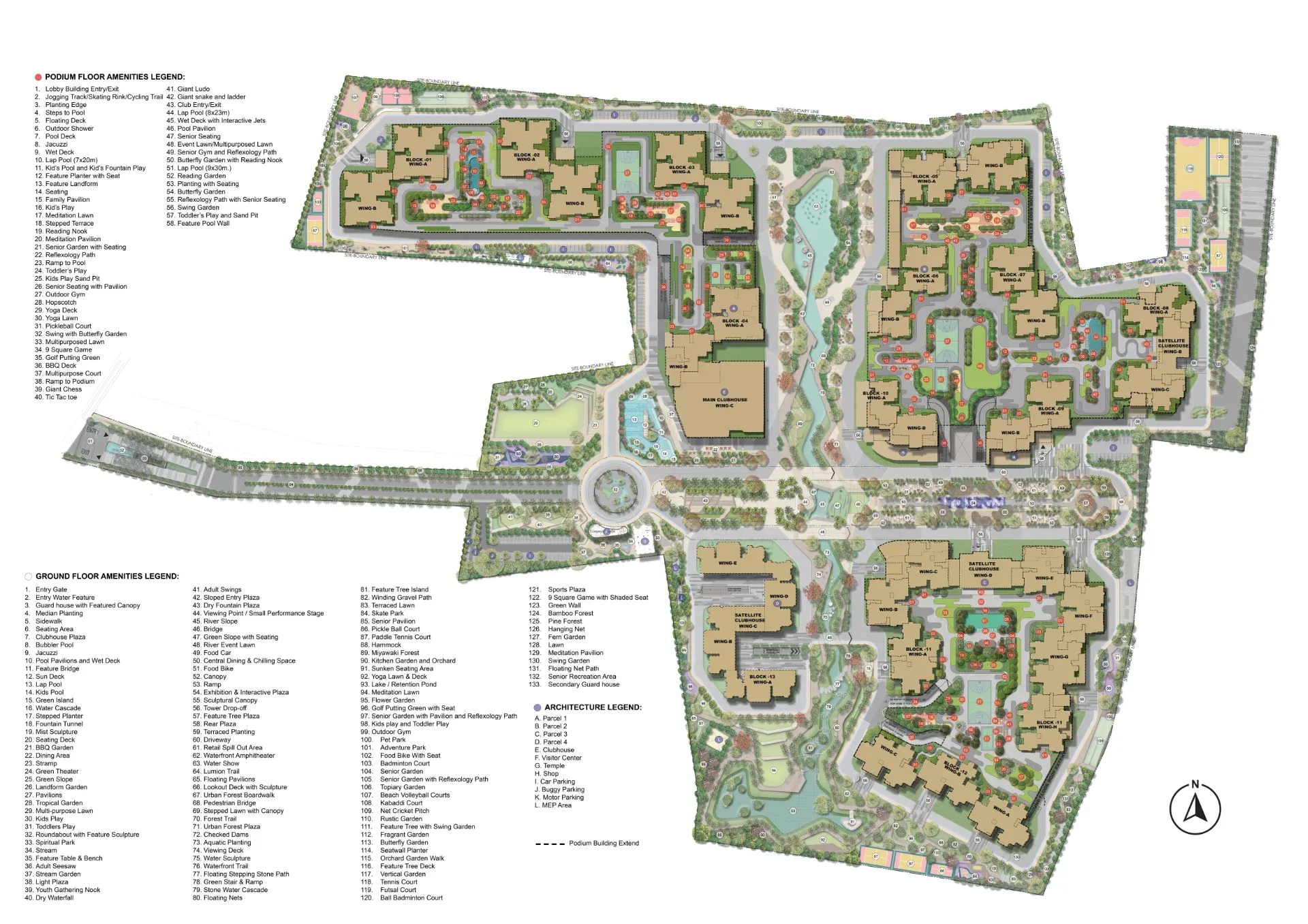
Inside the Sattva City Master Plan: 49 Acres Across 13 Residential Towers
Sattva City masterplan analysis — detailed look at the 49-acre layout, 13-tower configuration, podium planning, and landscape strategy at Doddajala.

When Will Sattva City Launch? Booking Journey and EOI Timeline Explained
Sattva City launch date and EOI booking — pre-launch window, booking journey, EOI benefits, and how to secure your priority in the formal launch queue.